Things change. Why, just a few months ago, you could hike Squaw Canyon in Canyonlands National Park, spend a night at SQ1 or SQ, connect with Lost Canyon or Big Spring Canyon for a nice loop, and come back with some great memories and a few swell photos. But things change, and the canyon is now called Wooden Shoe, the campsites WS1 and WS2, and we will speak the old name no more. You’ll be hiking Wooden Shoe Canyon, not that other place. Your old maps and the trail signs won’t match, but the canyon is the same, and the hike is the same, and it’s a good one.
Wooden Shoe Canyon
The trailhead for Wooden Shoe is at the Needles campground. The early part of the hike is in the open desert, and after about a mile you’ll come to a Y with a turnoff to Peekaboo and Lost Canyon. Unless you want to go the long way, take the right fork. You’ll soon be in the canyon, and, after about another half mile, you’ll come to WS1. About a mile after this, you’ll come to a signed intersection, where a right turn leads to Big Canyon, Druid Arch, Elephant Canyon, Chesler Park, a tangled labyrinth of slickrock. To get to Lost Canyon, go straight.
The Park Service says this loop is difficult. Perhaps it is. The early going will certainly help you get your hiking legs under you with a full pack, because you’ll have a few slickrock benches to go up and over, and you’ll probably have a gallon of water or more, but for the most part this part of the trail goes over flat or gently rolling terrain.
The crux
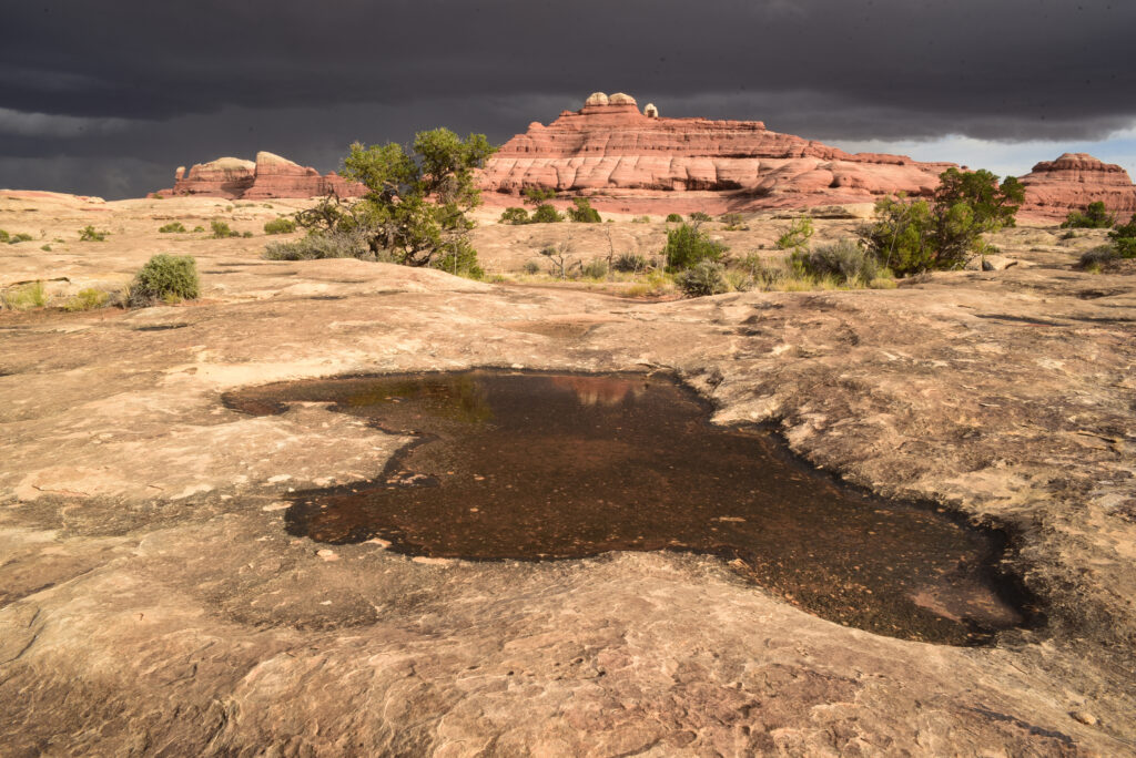
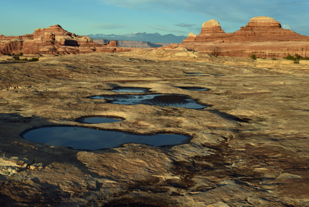
The most difficult part of the hiking Wooden Shoe Canyon and any of its loops is getting to the next canyon. In this case, making the connection between Wooden Shoe Canyon and Lost Canyon. After the turn for Big Spring, the trail shoots up a narrow passage that opens up to big views of the valley, some distant peaks, lots of slickrock. From there you’ll move up a slickrock ridge that drops down. From there you’ll meander with the canyon’s bends, the up and down as you move across drainages. There are three campsites in Lost Canyon. Should you spend a night in LC1, take some time to hike the spur to Peekaboo, which passes along a slickrock bench and offers some really nice views.
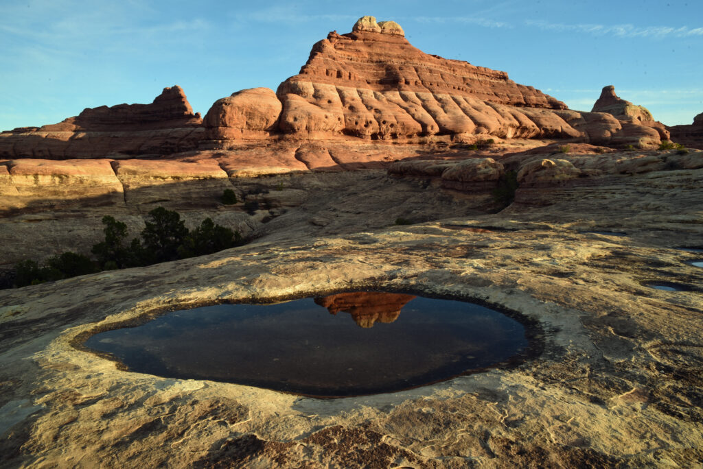
The Park Service will tell you that you should take a gallon of water per person, per day, et cetera, because it’s always better to be safe than sorry, to know your limits, et cetera. But if you know where to look, you may find seasonal water. The key word here is seasonal. If it hasn’t rained a month or two, I wouldn’t count on it.
Permits for the Needles District are hard to come by, especially in the shoulder seasons, so plan accordingly.
The Needles offers lots of possibilities for day trips, short backpacking loops, photos and lazy days around camp, watching the rocks grow and reading a book.
The nitty gritty
Access: Canyonlands National Park is in southern Utah. To get there, take U.S. 191 about 35 miles south from Moab or about 14 miles north from Monticello. Take UT 211, the only paved road that leads to the park, about 35 miles. Watch for deer. You’ll find camping in the park or at Needles Outpost, located just outside the park.
Details: https://www.nps.gov/cany/index.htm
Best time to go: Spring, fall.
Maps: Trails Illustrated – Needles and Island in the Sky. USGS topos – The Loop, UT, Druid Arch Quadrangle.
Disclaimer: https://rondungan.com/wp-admin/post.php?post=1248&action=edit