Saddle Mountain Wilderness
Saddle Mountain Wilderness is home to a small population of Apache trout. The fish are small and skittish, and the casting windows range from tight to impossible. Unless you enjoy nettles, snags and fishless days, leave the fly rod in the truck. This is a place to hike.
The wilderness is on the eastern edge of Grand Canyon, with views of House Rock Valley. It’s a couple hours from Lees Ferry, where the fishing is a lot better, and it’s a great place to appreciate the Colorado Plateau’s diversity, but it’s not an easy walk.
There are a few ways to get in there. One is the East Rim Trail, number 7 on the old maps. It’s listed as short, about a mile and half, but it drops hard and quick, from to aspen to oak and juniper. Coming out can be a bit of a beatdown if you’re not in good shape. And if you’re not in shape, consider hiking elsewhere.
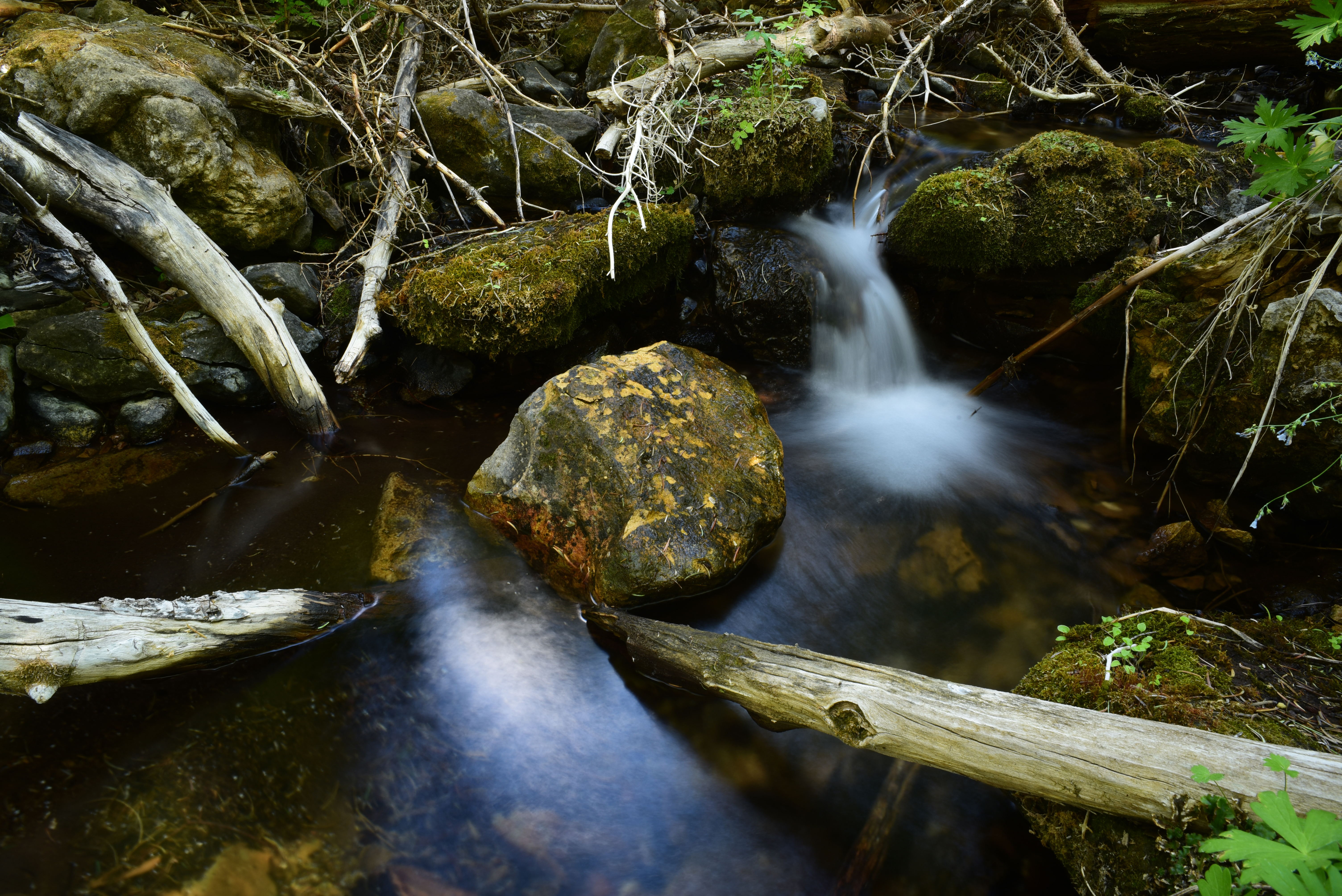
Another way is North Canyon Trail, number 4 on the old maps. It’s longer and a bit more gradual, but the result is the same: lots of elevation gain and loss. The highlight is North Canyon Spring, which flows out of the cliff and trickles down into the canyon, sheltering those Apache trout until it dries up.
The two trails meet at the bottom, at the tail end of the spring, where it dries up and becomes North Canyon Wash. At times there may be water in there, but I wouldn’t count on it – bring water or tank up at the spring.
Since the two trails meet at the bottom, it’s possible to do this as a loop hike. Take Trail number 7 to the junction with number 4. Take Trail 4 past the spring and out. Once you reach the top, take the Arizona Trail along the East Rim back to the Trail number 7 trailhead.
The nitty gritty
Access: Saddle Mountain Wilderness is located in northern Arizona. From Phoenix, head to Flagstaff and continue north on Highway 89 toward Page. Take the 89A loop to Lees Ferry and the North Rim. Head south on Highway 67. Turn left on 611 and head toward the East Rim viewpoint. You can also access the wilderness from House Rock Valley.
Details: fs.usda.gov/Kaibab. There are not many services in the area and the wilderness is generally not well traveled, so come prepared. You can find lodging at Jacob Lake or at Lees Ferry Lodge.
Best time to go: spring, summer, fall.
Maps: Kaibab National Forest. USGS: Dog Point.

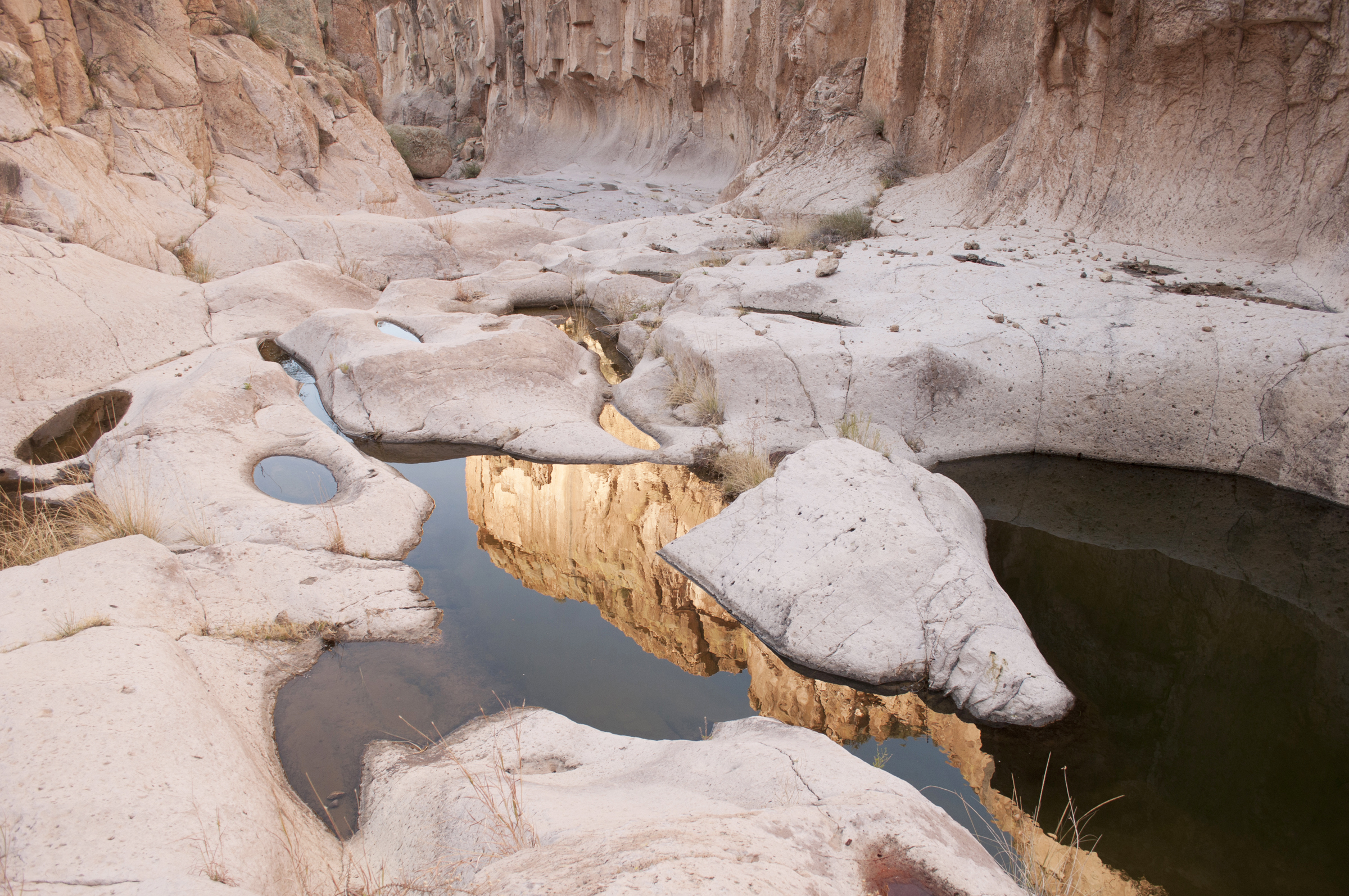
A side canyon along Aravaipa Creek has been sculpted by floodwaters.
Arivitis
Eddie thought we were crazy. He thought that all that wading on a cold day would end in disaster once the sun went down, but we didn’t listen. The canyon was calling.
The forecast called for colder and getting colder, clear to partly hypothermic at night. It was December, and someone, I think it was Jason, had a permit for Aravaipa Canyon.
Desert hikes can be grim, stoic death marches, but hiking in Aravaipa Canyon is like taking your inner child out for a walk. You splash through water under a canopy of trees, and the desert, warm, hostile, unforgiving, seems far away.
We found a place to camp, dropped packs and started to explore.
Dropping packs normally like is a shot of adrenaline – you cover ground quickly and chew up miles, and that’s what we did, at, first. We worked our way upstream, came to a junction of two canyons and started up one of them.
The canyon pinched in, cutting off progress. A series of water holes and smooth gray rock, where we laid down in the sun. Life was good.
Then a general feeling of apathy and sloth settled in. It was as if we had stumbled into a real-life version of the Odyssey and had entered the land of the Lotus Eaters. As if a bug or a virus had thrown us off our game.
We called it Aravitus.
When we finally peeled ourselves from the rock, it was time to shamble on back to camp. We built a fire and stayed warm in the cold December night. Eddie was so wrong.
The nitty gritty:
Access: There are two access points, east and west, and a permit is required for both. The east requires a high-clearance vehicle and is a 5 or 6-hour drive from Phoenix. Aravaipa has plenty of water, but it should be treated. No pets. Strong hikers can chew up the whole canyon in 8 to 10 hours, the Bureau of Land Management reports. That’s probably accurate, but exploring side canyons can take time, and Aravitis can slow you down considerably.
Details: blm.gov/visit/aravaipa-canyon-wilderness
Best time to go: early spring, late fall. Winter backpackers should carry extra clothes and place their sleeping bag in a dry bag. Just in case.
USGS maps: Booger Canyon, Brandenburg Mountain.
Disclaimer:
We live in a litigious, guardrail society, in which is necessary to state the obvious.

Hiking the Arizona backcountry is dangerous. There is a perception that when a trail appears in a guidebook, or on a website, or in a magazine, it has been “tamed.” It has not. You are responsible for your own safety. Arizona is home to rattlesnakes, Gila monsters, tarantulas, black widows, scorpions, javelina, black bear, a few wolves. You may encounter extreme heat, freezing cold, flash floods, unstable people, falling rocks, falling trees, wildfire.
On a hot day, you should drink at least one gallon of water per person, per day. There is water in Arizona, but water sources can be unreliable. Purify all water that you find in the backcountry. And eat something, for cryin’ out loud.
It is a good idea to carry the 10 essentials on all hikes – day hikes or backpacking trips. The list can vary slightly but are similar. Mountaineering: Freedom of the Hills breaks it down to the following: navigation, sun protection, insulation, illumination, first aid, fire, repair kit, nutrition, hydration and shelter. Put another way: knife, map, compass, lighter, fleece, food, extra water, water purification, first aid, rain gear, sunscreen, flashlight, duct tape, space blanket or large trash bag. Add judgment. Please note that a cell phone is not on the list. Cell phone reach is sketchy in the backcountry. Be careful. Have fun.