We hoisted big packs and tottered upstream, the day sunny, our brains foggy with the flotsam of a night spent in a Durango brewpub. Vallecito Creek offers a back door to Chicago Basin, where you’ll find some of the coolest peaks in southern Colorado. Yes, there is another way to gain access to the Basin and its peaks, but it involves boarding a train and racing up a crowded trail to a base camp, bagging your peak and heading back down to catch the train. No thanks. We were there because we wanted to be, and didn’t mind spending the extra time, although carrying the extra food made the first few days a bit of a beatdown.
Skinny creeks
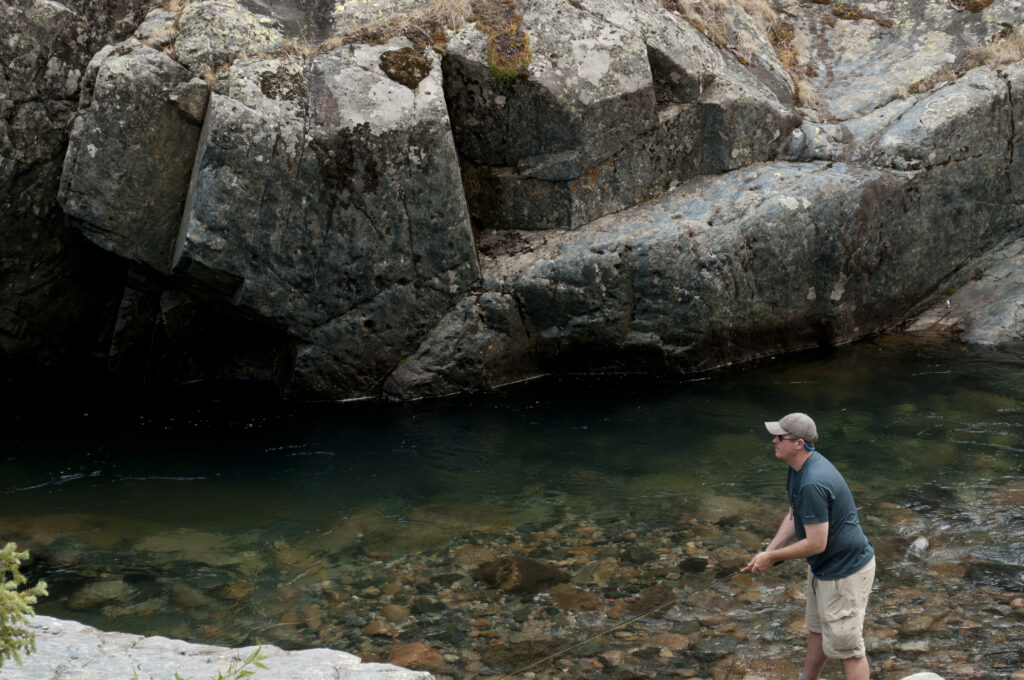
We followed Vallecito to the junction with Johnson Creek, about a nine-mile slog, and spent the next day fishing and getting used to the altitude. The stream is skinny up that high, and the fish were a mix of smallish browns, rainbows, brookies and hybrids, if memory serves.
Morning. The dew thick. We packed slowly as our gear dried out, then pushed on, through a dark wood to higher ground. The trail switchbacked through trees that stood dead or dying or waiting to die. Several had toppled across the trail and we had to step over or around. Our breath came in gulps.
The creek tumbled down a canyon in a series of waterfalls, and we took a break by one. The trail leveled out for a bit, then left the creek and corkscrewed up a canyon. When we started up, a hailstorm slapped us and soaked us to the bone. By the time we cleared the canyon rim I was shivering. We stopped, set up a tarp and got into dry clothes, drank hot drinks, and after a bit the sky cleared. We packed our stuff and climbed over Columbine pass, dropped back down, onto the shoulders of Chicago Basin, where we made camp.
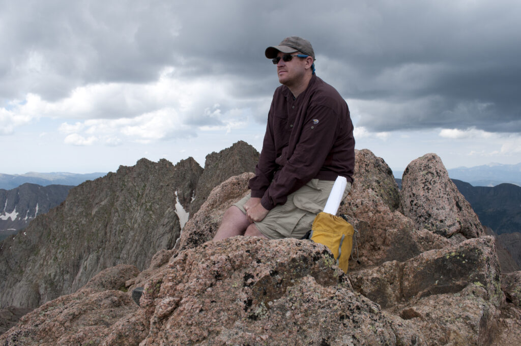
Summit day
The next day we made for the peaks. It was a scramble up North Eolus, where Jason and I had a 14,000-foot view all to ourselves. (We had climbed Windom and Sunlight a couple of years earlier, and had those peaks to ourselves as well.) We headed for Eolus, but as we started across the catwalk, there was a crash of thunder, a bolt of lightning as a dark cloud came into view.
A year or two later, Tom and I climbed Windom, again using Vallecito, though we took a different way out. Long story.
You can hike Vallecito as a day hike or an overnight without getting your feet wet, using a series of bridges to cross. The first two bridges will get you about six or seven miles in. The third bridge washed out years ago. Crossing is a judgment call – don’t do it if you have any doubts.
The nitty-gritty
Access: The closest towns are Bayfield and Durango. From Durango, take Florida Road (County 240) for 17 miles and turn left on County Road 501. Travel about 9.5 miles through the community of Vallecito. Turn left onto County Road 500 and go three miles to the campground. From Bayfield, take County Road 501 about 20 miles. Turn left on County Road 500 and drive three miles to the campground.
Details: https://www.fs.usda.gov/recarea/sanjuan/recarea/?recid=43290&actid=50
Best time of year to go: Summer, early fall.
Maps: National Geographic Weminuche Wilderness, San Juan National Forest. USGS topos: Much of Vallecito is on the Columbine Pass quad, though the first mile or two is on the Vallecito Reservoir quad. You’ll probably want the Storm King Park quad if you plan to summit Sunlight or North Eolus.