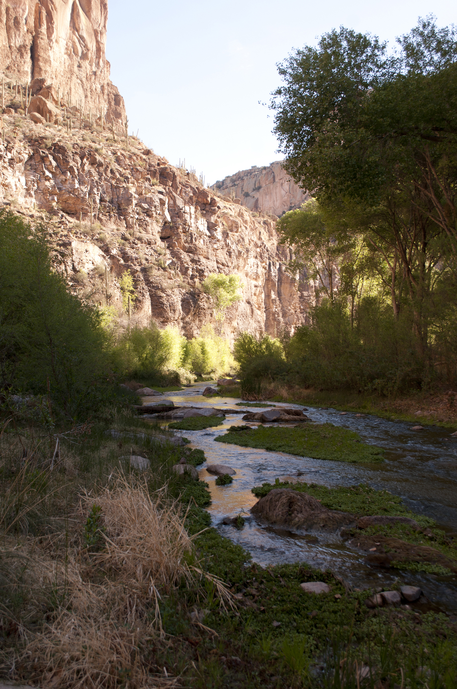
Eddie thought we were crazy. He thought that all that wading on a cold day would end in disaster once the sun went down, but we didn’t listen. The canyon was calling.
The forecast called for colder and getting colder, clear to partly hypothermic at night. It was December, and someone, I think it was Jason, had a permit for Aravaipa Canyon.
Desert hikes can be grim, stoic death marches, but hiking in Aravaipa Canyon is like taking your inner child out for a walk. You splash through water under a canopy of trees, and the desert, warm, hostile, unforgiving, seems far away.

We found a place to camp, dropped packs and started to explore.
Dropping packs normally like is a shot of adrenaline – you cover ground quickly and chew up miles, and that’s what we did, at, first. We worked our way upstream, came to a junction of two canyons and started up one of them.
The canyon pinched in, cutting off progress. A series of water holes and smooth gray rock, where we laid down in the sun. Life was good.
That lazy feeling
Then a general feeling of apathy and sloth settled in. It was as if we had stumbled into a real-life version of the Odyssey and had entered the land of the Lotus Eaters. As if a bug or a virus had thrown us off our game.
We called it Aravitus.
When we finally peeled ourselves from the rock, it was time to shamble on back to camp. We built a fire and stayed warm in the cold December night. Eddie was so wrong.
The nitty gritty:
Access: There are two access points, east and west, and a permit is required for both. The east requires a high-clearance vehicle and is a 5 or 6-hour drive from Phoenix. Aravaipa has plenty of water, but it should be treated. No pets. Strong hikers can chew up the whole canyon in 8 to 10 hours, the Bureau of Land Management reports. That’s probably accurate, but exploring side canyons can take time, and Aravitis can slow you down considerably.
Details: blm.gov/visit/aravaipa-canyon-wilderness
Best time to go: early spring, late fall. Winter backpackers should carry extra clothes and place their sleeping bag in a dry bag. Just in case.
USGS maps: Booger Canyon, Brandenburg Mountain.
Disclaimer: Please read. Have fun.